My name is Jerry Montgomery, I am from a small rural area of Eastern Kentucky.
This project is a final for GEO 409 Advanced GIS class, I was asked to choose an area of interest and make maps about that particular area using the information I have gathered throughout the course.
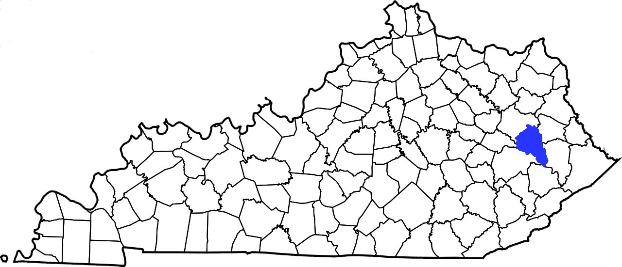
This area is located in Magoffin County, Kentucky.
I have gathered lidar and other map data from the sources used throughout the course.
I have a work history in construction and am currently a Civil Engineering major.
I will attempt to relate this project to my work history, major, and to myself personally.
The area circled is my particular area of interest.
The points on the map will be defined as point 1 and point 2.